Glacial cirque lakes in the Black Forest and the Vosges
There are 30 glacial cirque lakes – or tarns – in the Black Forest (Germany) and the Vosges (France). These lakes are relatively small and have an almost circular outline – with a maximum diameter of 200 meters. These lakes are relicts of the last glacial period. (Learn more)
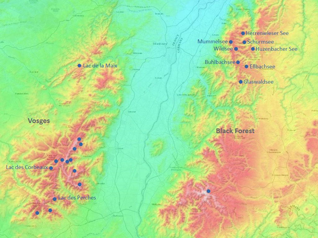
The following map shows the location of these lakes.
Location of the glacial cirque lakes in Black Forest and Vosges (dot size not to scale). The name of those lakes are indicated that are presented in this photo gallery. Source for map: www.tessadem.com.
For more information on the history of these lakes, see this blogpost:
English,
German
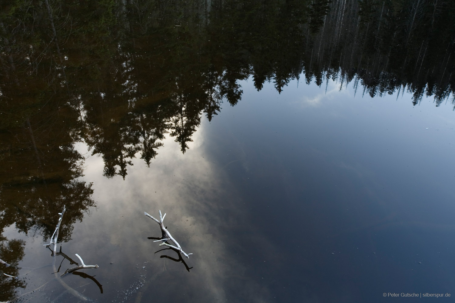
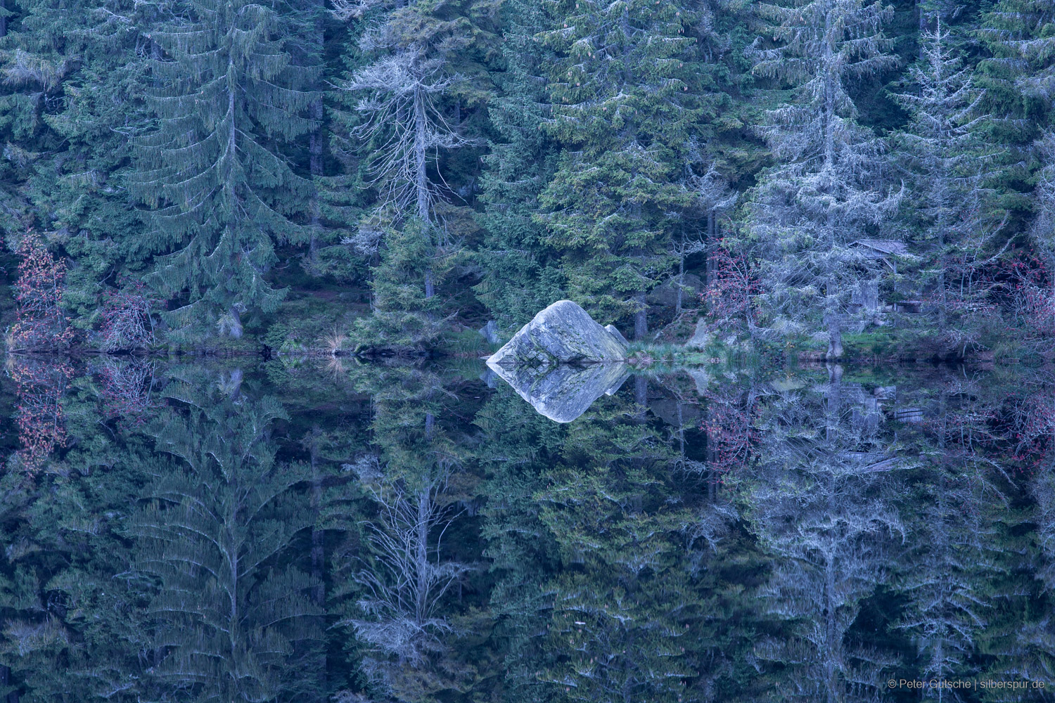
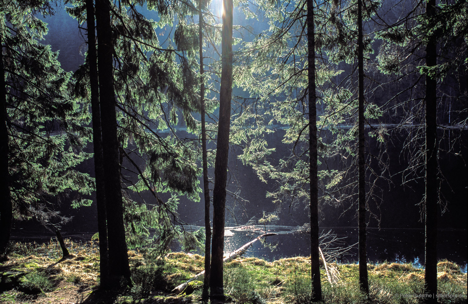
Deadwood at Wildsee near Ruhestein.
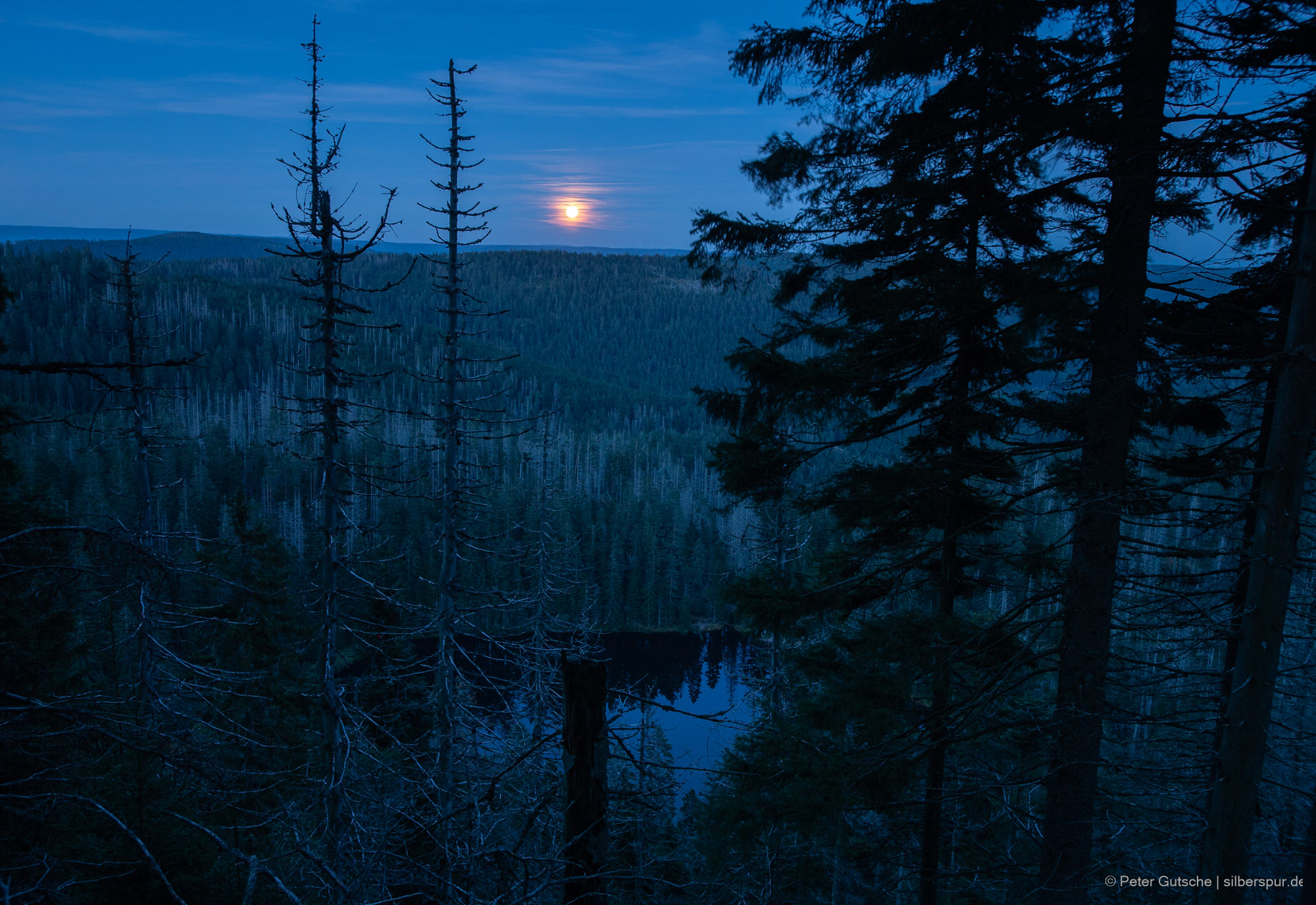
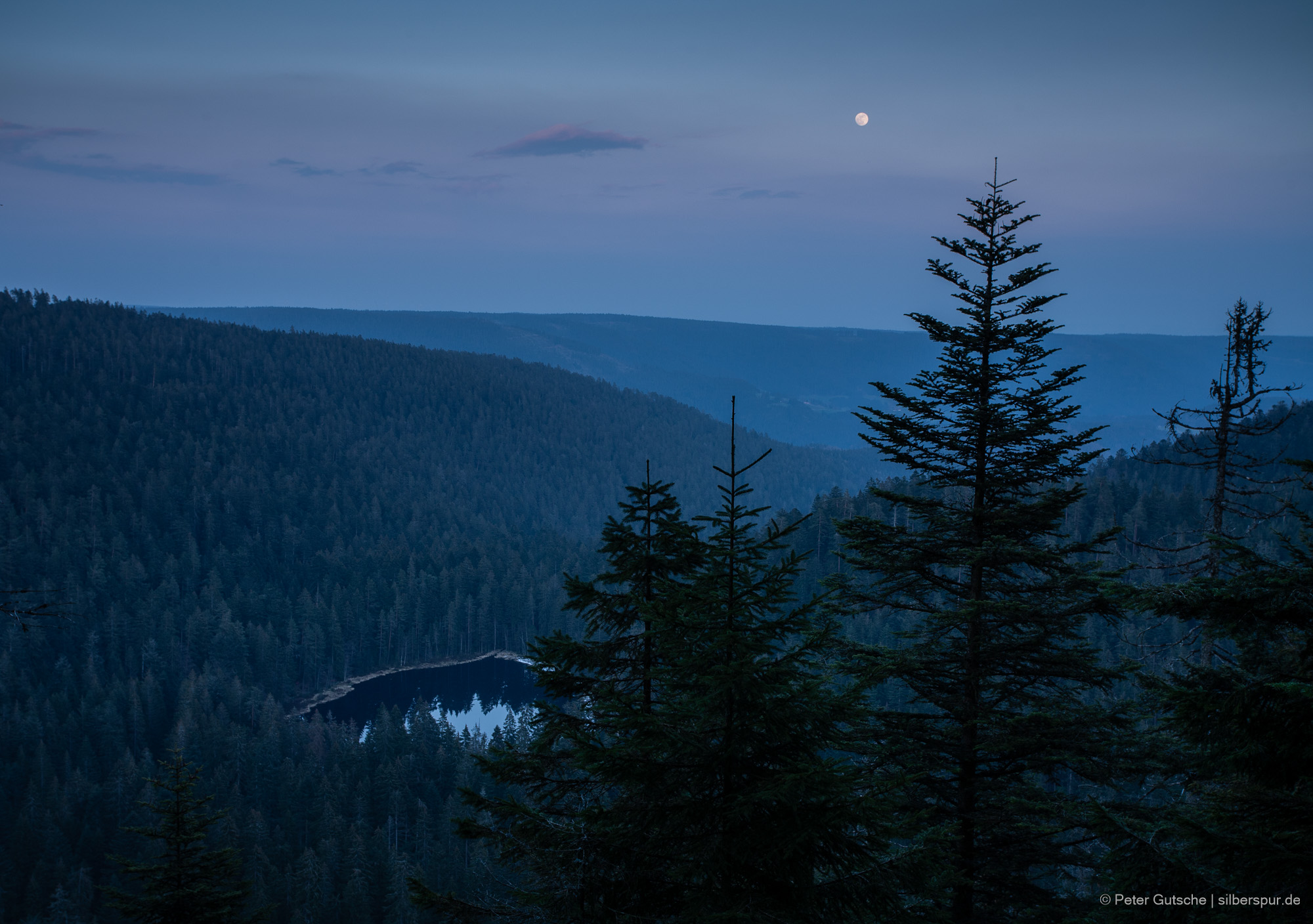
Moon rise over Wildsee.
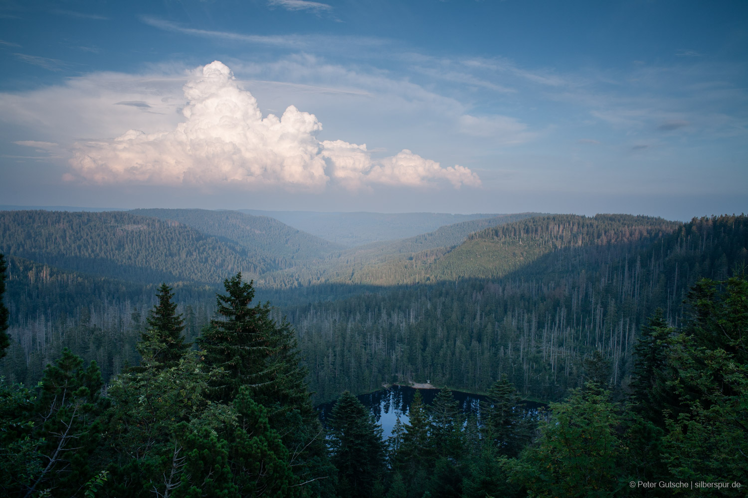
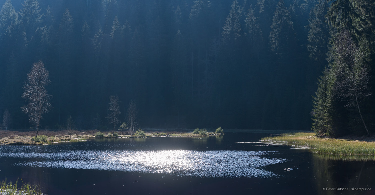
Wildsee on a summer's day.
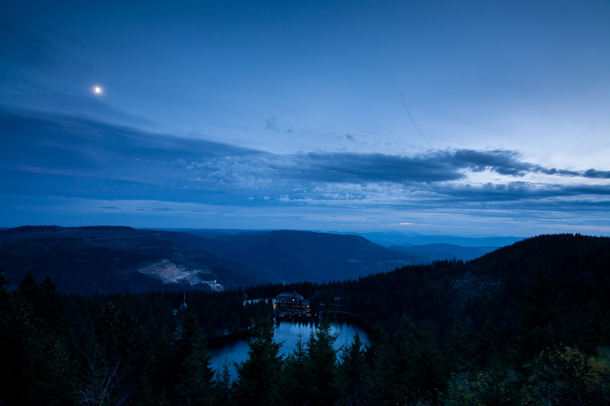
Mummelsee is nowadays located on the busy Black Forest High Road (Schwarzwaldhochstraße).
Mummelsee in the year 2006.
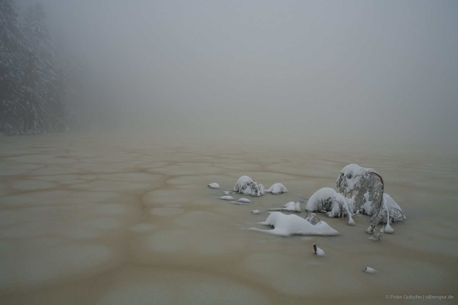
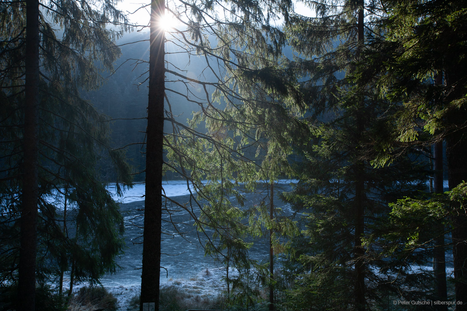
Mummelsee in winter.
Glaswaldsee is located in a remote location south-west of Freudenstadt.
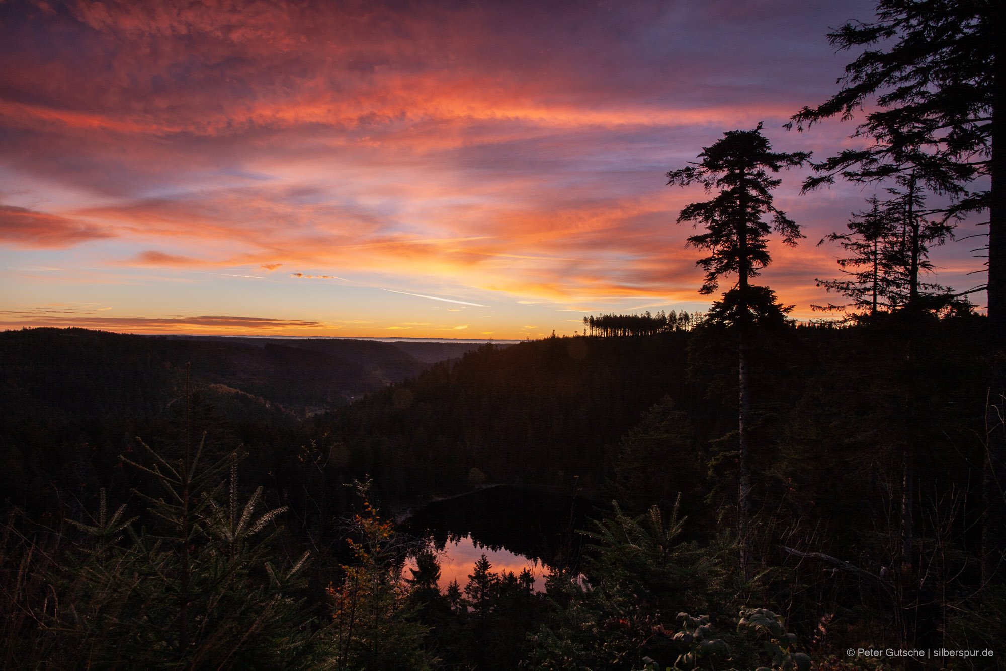
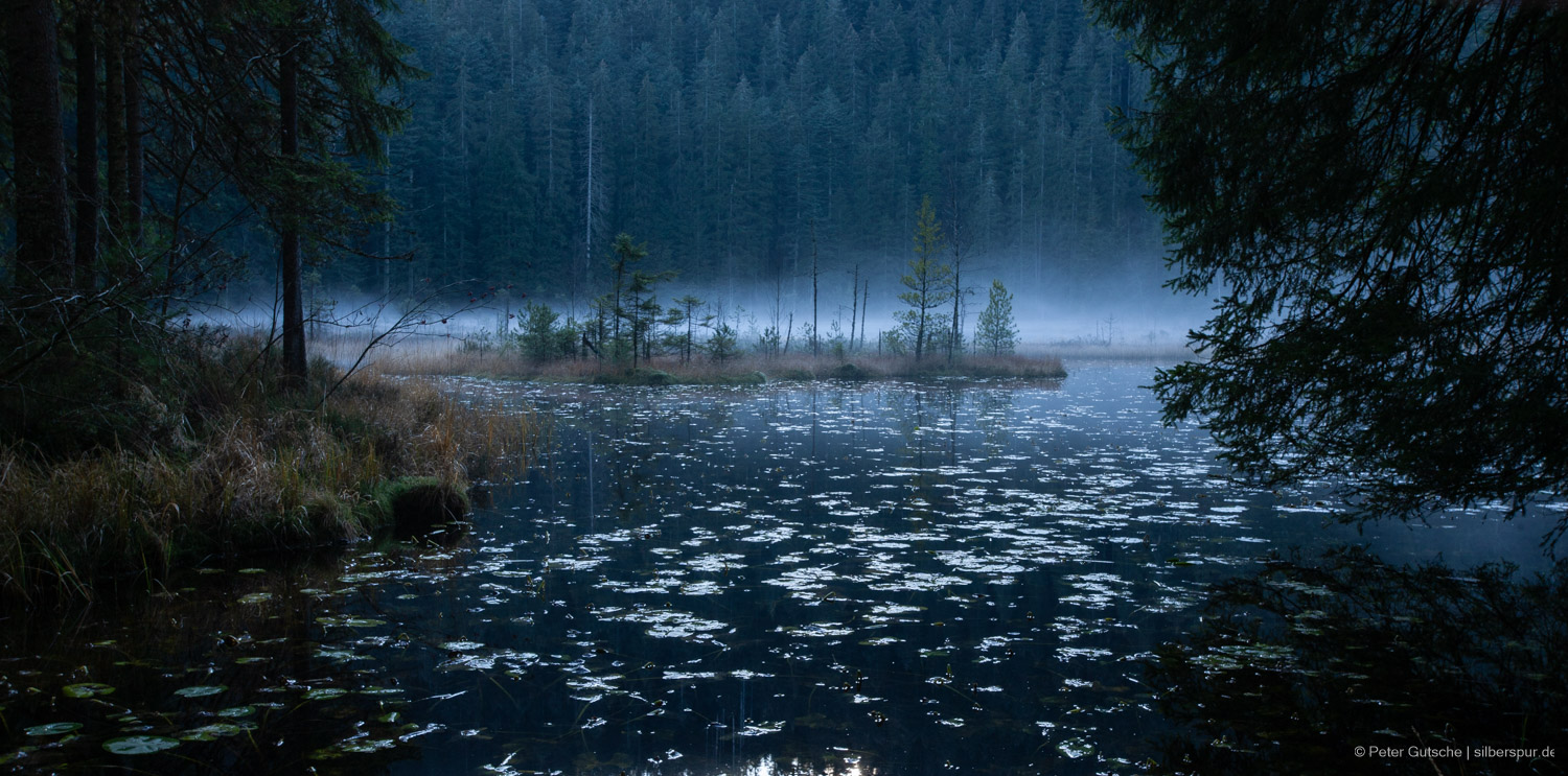
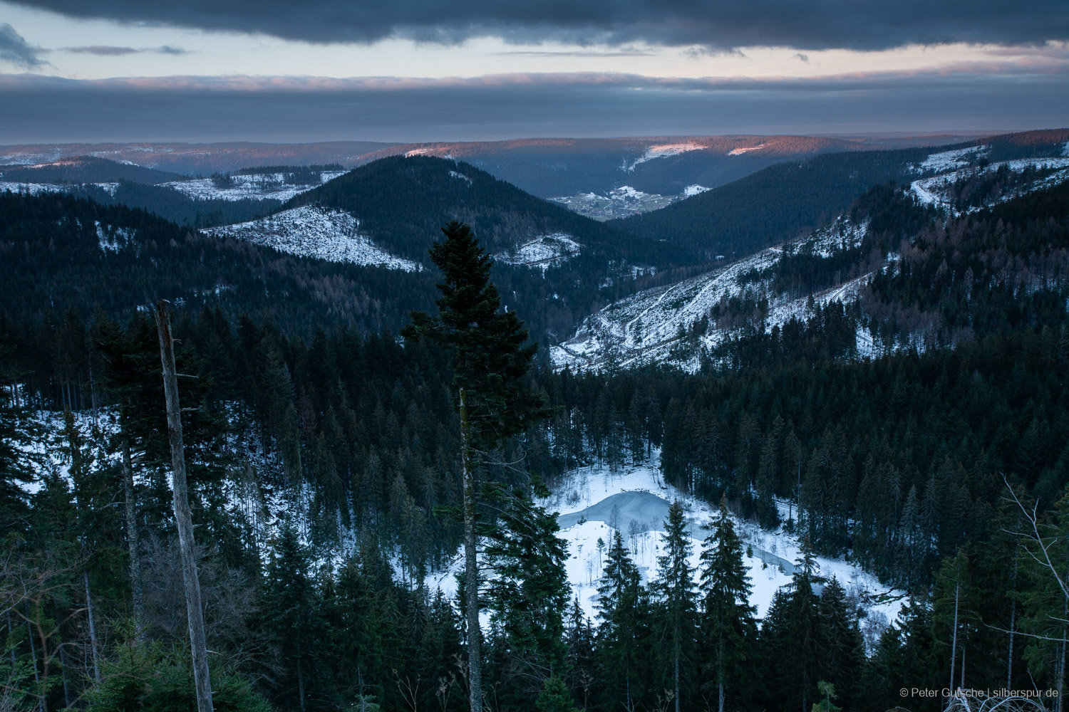
Glaswaldsee at dawn.
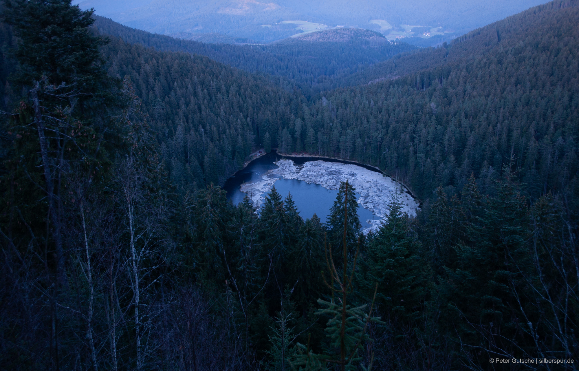
Glaswaldsee. The nearly circular shape of the lake can be recognized on this photograph very clearly.
Glaswaldsee.
Huzenbacher See
Water lilies on the Huzenbacher See.
Huzenbacher See.
Huzenbacher See.
Schurmsee
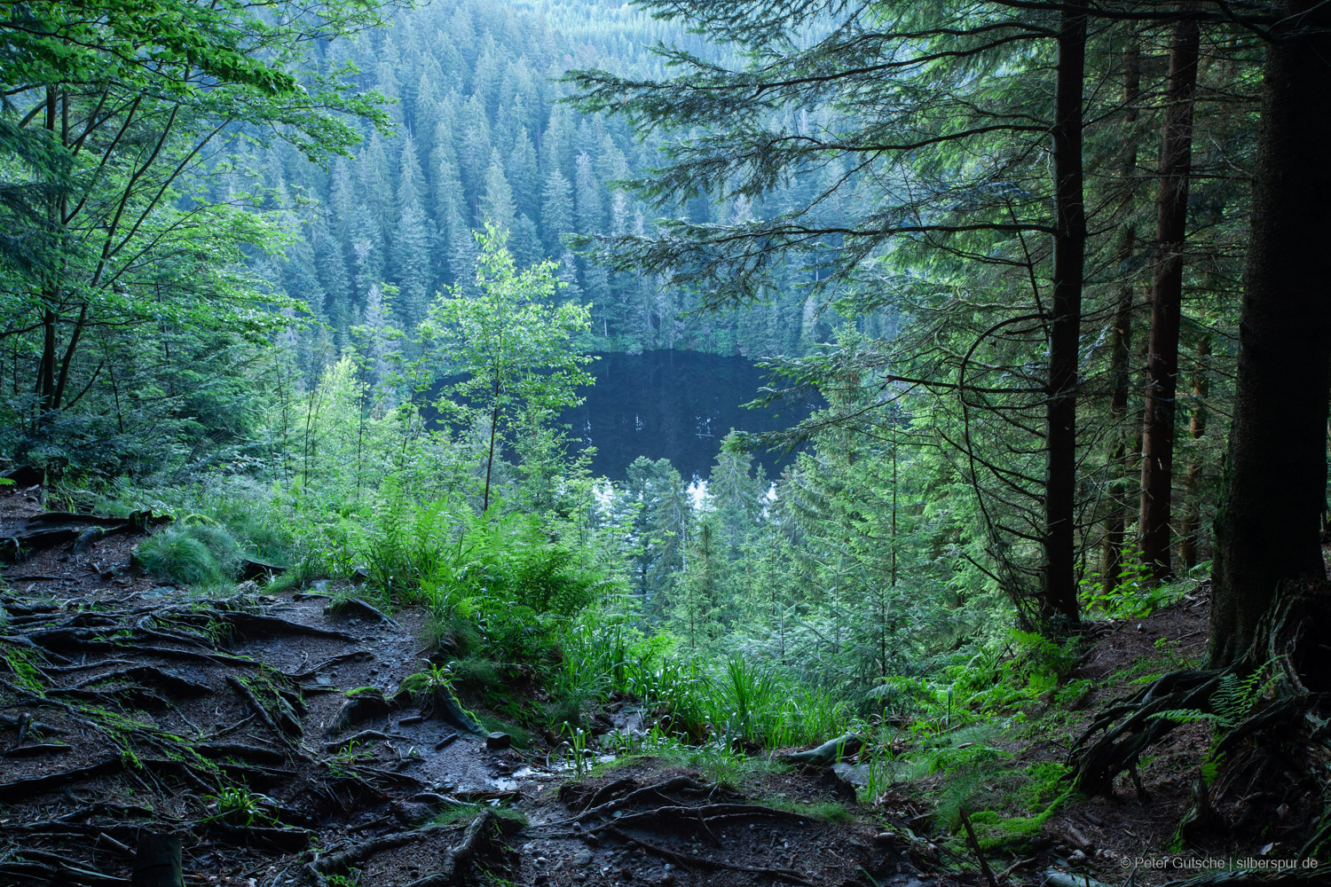
Schurmsee is surrounded by dense forest.
Schurmsee in winter.
Buhlbachsee
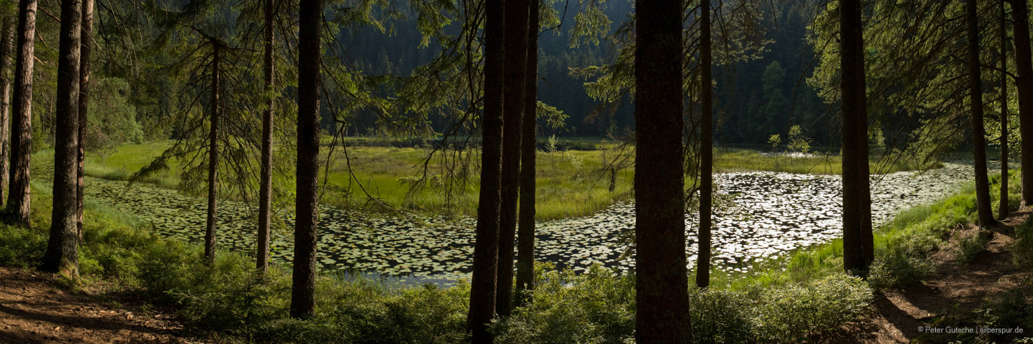
Buhlbachsee on a summer's day. Here, you can notice that the free water surface diminishes over time, and often floating islands of turf form which, in the course of time, are colonized by bushes and even trees.
Ellbachsee
Ellbachsee in winter.
Herrenwieser See
Herrenwieser See.
Vosges
Lac des Perches
Lac des Perches.
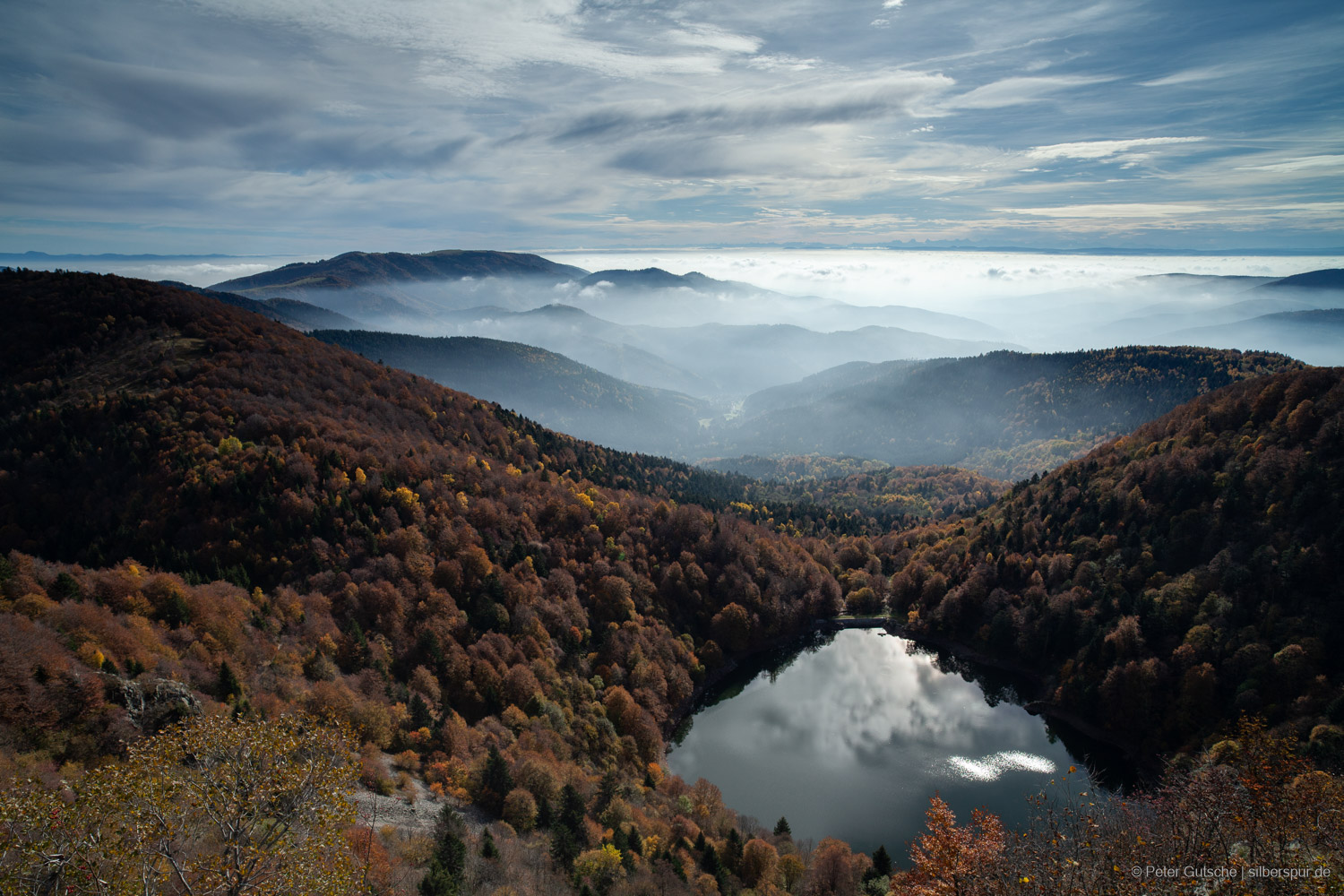
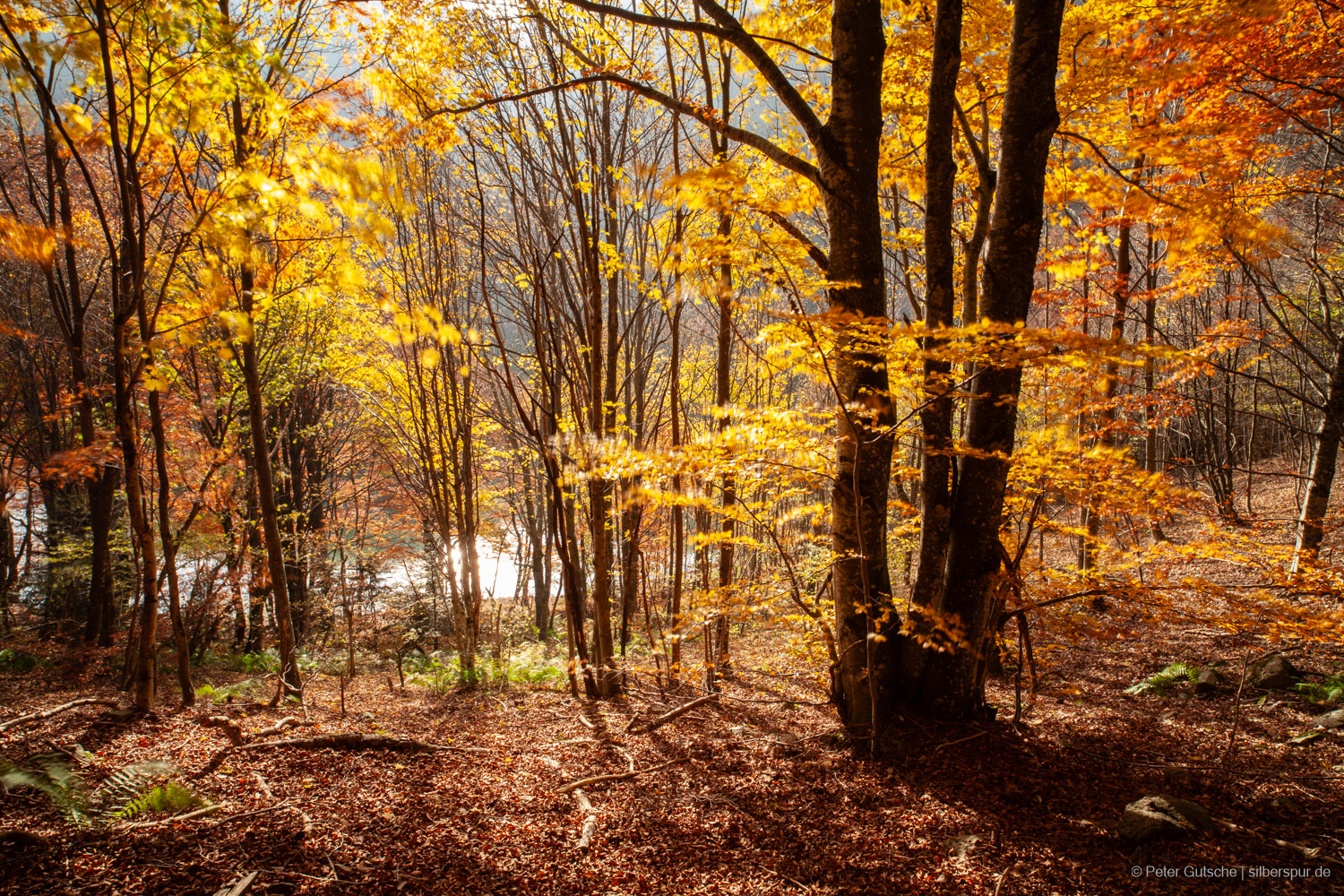
Lac des Perches in autumn.
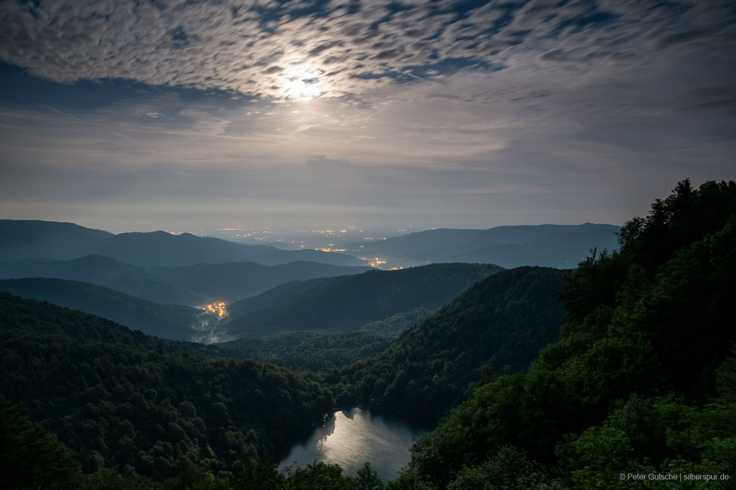
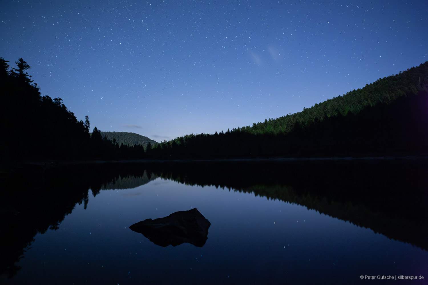
Lac des Perches in a full moon night.
Lac des Corbeaux
Lac des Corbeaux.
Lac de la Maix is located in a cirque which is open exactly into northern direction.
Lac de La Maix.
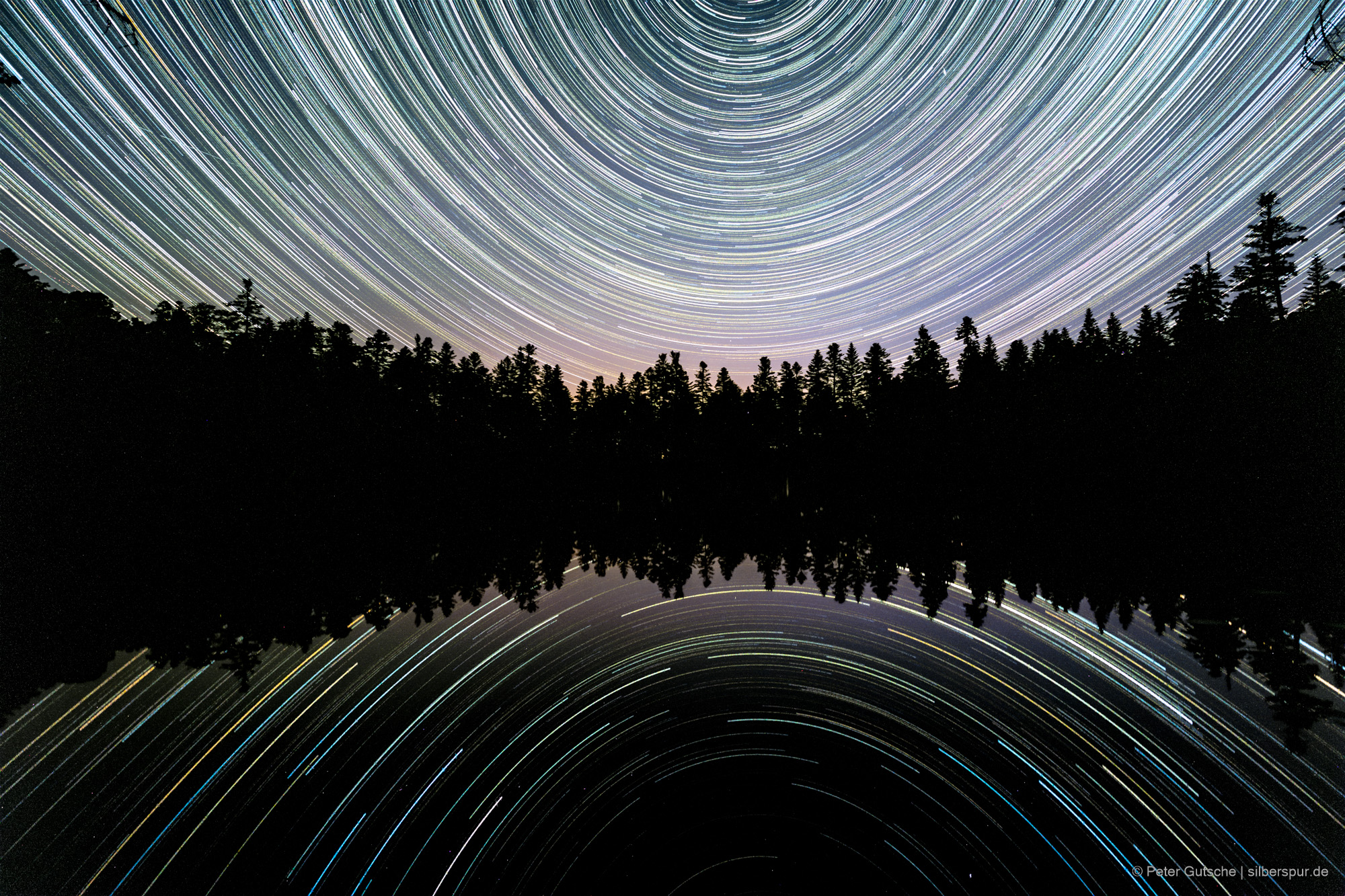
Trails of the northern stars as photographed in a long exposure during a whole night of June.
A tarn is defined as a lake formed in glacially-carved cirques, often dammed by moraines.
During the last glacial period that ended about 12.000 years ago, on the highest mountains of the Black Forest and the Vosges – in most cases on the northern and eastern slopes – individual firn areas formed. Even during summer, the ice didn’t melt there and, simply speaking, shaped depressions into the rock surface. In these depressions – also referred to as cirques – water accumulated after the glaciers melted down. On the opposite side of the slope, in many cases the ice had banked up a moraine that prevented the water from flowing downward into the valley.